Archiu:German Empire, Wilhelminian third version.svg
Anar a la navegació
Anar a la busca

Tamany d'esta previsualisació PNG de l'archiu SVG: 800 × 551 píxels. Atres/s resolucions: 320 × 220 píxels | 640 × 440 píxels | 1024 × 705 píxels | 1280 × 881 píxels | 805 × 554 píxels.
Resolució completa. ((Image SVG, nominalment 805 × 554 pixels, tamany d'archiu: 641 kB))
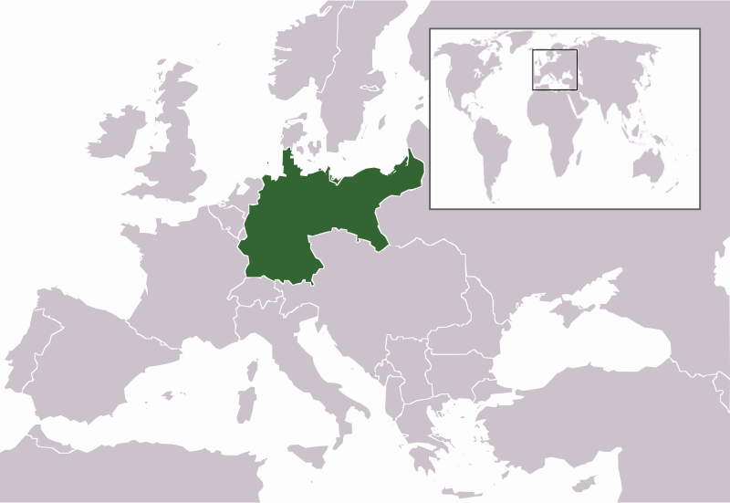
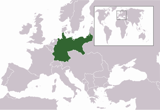
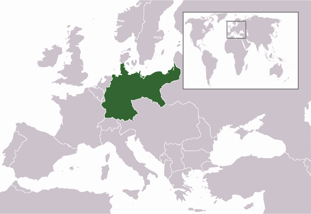
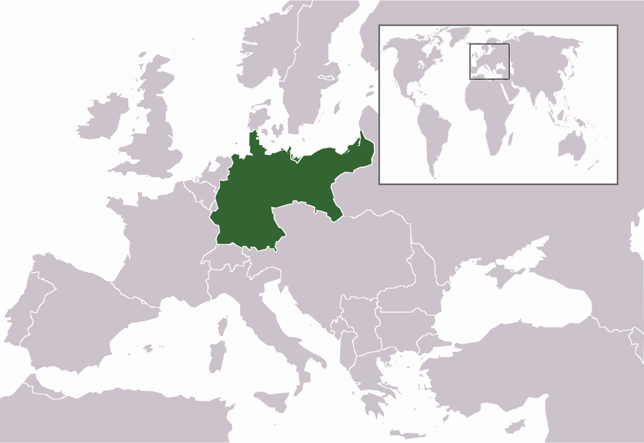
| Descripción | Map of the German Empire (1871-1918) |
| Fecha | (UTC) |
| Fuente | |
| Autor |
|
| Otras versiones | File:German Empire, Wilhelminian third version.png.PNG |
Yo, el titular de los derechos de autor de esta obra, la publico en los términos de la siguiente licencia:
| Yo, el titular de los derechos de autor de esta obra, lo libero al dominio público. Esto aplica en todo el mundo. En algunos países esto puede no ser legalmente factible; si ello ocurriese: Concedo a cualquier persona el derecho de usar este trabajo para cualquier propósito, sin ningún tipo de condición al menos que éstas sean requeridas por la ley. |
Registro original de carga
This image is a derivative work of the following images:
- File:German_Empire,_Wilhelminian_third_version.png.PNG licensed with PD-self
- 2008-11-23T17:06:13Z MaggotMaster 805x553 (35442 Bytes) reverted to be more in line with every other map in wikipedia
- 2008-11-08T19:45:23Z Buonaparte69 805x553 (41061 Bytes) Reverted to version as of 19:42, 8 November 2008
- 2008-11-08T19:43:55Z Buonaparte69 805x553 (41004 Bytes) Blue is the imperial colour of FRANCE! BLACK is the imperial colour of GERMANY!
- 2008-11-08T19:42:15Z Buonaparte69 805x553 (41061 Bytes) Blue is the imperial colour of FRANCE! BLACK is the imperial colour of GERMANY!
- 2008-08-11T10:24:01Z The Kosovo Clan 805x553 (40972 Bytes) Blue is the imperial color of Germany.
- 2007-08-16T21:19:27Z R-41 805x553 (35442 Bytes) Forgot to save the last time I think, sorry, hopefully this time it will work
- 2007-08-16T21:17:26Z R-41 805x553 (35442 Bytes) Made colour of the highlighted country, the German Empire, the same as that of other highlighted countries on the grey world maps on wikipedia.
- 2006-12-22T22:09:02Z Electionworld 805x553 (40972 Bytes) {{ew|en|Lorpius Prime}} == Summary == Edited from previous version to "remove the annoying light grey of Austria-Hungary!" == Licensing == {{PD-self}}
Uploaded with derivativeFX
Historial de l'image
Puncha en la data/hora per a vore l'image tal i com es mostrava en eixe moment.
| Data/Hora | Miniatura | Dimensions | Usuari | Descripció | |
|---|---|---|---|---|---|
| actual | 19:25 1 maig 2009 | | 805 × 554 (641 kB) | Mnmazur | {{Information |Description=Map of the German Empire (1871-1918) |Source=*File:German_Empire,_Wilhelminian_third_version.png.PNG |Date=2009-05-01 20:24 (UTC) |Author=*File:German_Empire,_Wilhelminian_third_version.png.PNG: MaggotMaster *derivat |
Enllaços a l'image
Les següents pàgines enllacen ad esta image: