Archiu:VISTA A EST DAL MASTIO DELLA ROCCA.jpg
Anar a la navegació
Anar a la busca


Tamany d'esta vista prèvia: 800 × 324 píxels. Atres/s resolucions: 320 × 130 píxels | 640 × 259 píxels | 1024 × 415 píxels | 1280 × 519 píxels | 10 009 × 4058 píxels.
Resolució completa. ((10 009 × 4058 pixels, tamany de l'archiu: 4,93 MB, MIME tipo: image/jpeg))
Resumen
| Descripción |
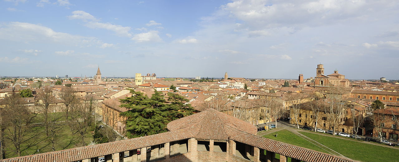
Italiano: Rocca Sforzesca - MIBAC
|
|||||
| Fecha | ||||||
| Fuente | Trabajo propio | |||||
| Autor | Bassanan |

| Posición de la cámara | | Ubicación de esta y otras imágenes en: OpenStreetMap |
|---|
Licencia
Yo, el titular de los derechos de autor de esta obra, la publico en los términos de la siguiente licencia:
Este archivo se encuentra bajo la licencia Creative Commons Genérica de Atribución/Compartir-Igual 3.0.
- Eres libre:
- de compartir – de copiar, distribuir y transmitir el trabajo
- de remezclar – de adaptar el trabajo
- Bajo las siguientes condiciones:
- atribución – Debes otorgar el crédito correspondiente, proporcionar un enlace a la licencia e indicar si realizaste algún cambio. Puedes hacerlo de cualquier manera razonable pero no de manera que sugiera que el licenciante te respalda a ti o al uso que hagas del trabajo.
- compartir igual – En caso de mezclar, transformar o modificar este trabajo, deberás distribuir el trabajo resultante bajo la misma licencia o una compatible como el original.

|
Esta imagen ha sido subida en el marco de Wiki Loves Monuments 2012.
|
 |
Historial de l'image
Puncha en la data/hora per a vore l'image tal i com es mostrava en eixe moment.
| Data/Hora | Miniatura | Dimensions | Usuari | Descripció | |
|---|---|---|---|---|---|
| actual | 07:39 27 set 2012 | 10 009 × 4058 (4,93 MB) | Bassanan | User created page with UploadWizard |
Enllaços a l'image
Les següents pàgines enllacen ad esta image: