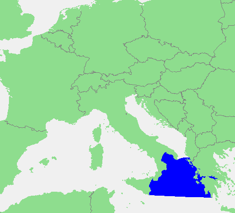
Locatie_Ionische_Zee.PNG ((473 × 430 pixels, tamany de l'archiu: 17 kB, MIME tipo: image/png))

Este archiu és de Wikimedia Commons i pot usar-se en atres proyectes. La descripció en la seua pàgina de descripció de l'archiu se mostra baix.

Description In dutch: Locatie Ionische Zee.PNG
Source own work based on PD map
Author edited by M.Minderhoud
Permission
(Reusing this file)
Public domain
This image is in the public domain because it came from the site https://www.demis.nl/products/web-map-server/examples/ and was released by the copyright holder. Permission is granted to copy, distribute and/or modify this map since it is based on free of copyright images from: www.demis.nl. See also approval email on de.wp and its clarification.

Deutsch | English | македонски | മലയാളം | Nederlands | slovenščina | +/−

Public domain This work has been released into the public domain by its copyright holder, www.demis.nl. This applies worldwide.
In some countries this may not be legally possible; if so:
www.demis.nl grants anyone the right to use this work for any purpose, without any conditions, unless such conditions are required by law.

Captions

Add a one-line explanation of what this file represents

Items portrayed in this file

depicts English

data size English

16,898 byte

height English

430 pixel

width English

473 pixel

media type English

image/png

checksum English

392fbdcfff17f338b08bc7258a108ee7042bf909

Historial de l'image

Puncha en la data/hora per a vore l'image tal i com es mostrava en eixe moment.

Data/HoraMiniaturaDimensionsUsuariDescripció
actual15:42 28 jun 2012Miniatura de la versió de 15:42 28 jun 2012473 × 430 (17 kB)wikimediacommons>CiaurlecCorrected western and southern limits

Les següents pàgines enllacen ad esta image:

Metasenyes