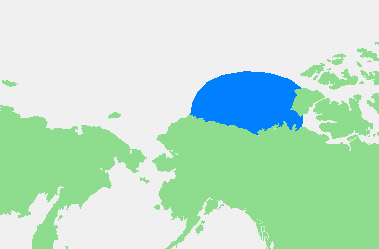
Beaufortzee.PNG ((747 × 492 pixels, tamany de l'archiu: 16 kB, MIME tipo: image/png))

Este archiu és de Wikimedia Commons i pot usar-se en atres proyectes. La descripció en la seua pàgina de descripció de l'archiu se mostra baix.

Description Beaufortzee / Beaufort Sea
Source Own work
Author edited by M.Minderhoud
Permission
(Reusing this file)
Public domain
This image is in the public domain because it came from the site https://www.demis.nl/products/web-map-server/examples/ and was released by the copyright holder. Permission is granted to copy, distribute and/or modify this map since it is based on free of copyright images from: www.demis.nl. See also approval email on de.wp and its clarification.

Deutsch | English | македонски | മലയാളം | Nederlands | slovenščina | +/−

Public domain This work has been released into the public domain by its copyright holder, www.demis.nl. This applies worldwide.
In some countries this may not be legally possible; if so:
www.demis.nl grants anyone the right to use this work for any purpose, without any conditions, unless such conditions are required by law.

Other versions
This locator map image could be re-created using vector graphics as an SVG file. This has several advantages; see Commons:Media for cleanup for more information. If an SVG form of this image is available, please upload it and afterwards replace this template with {{vector version available|new image name}}.
It is recommended to name the SVG file “Beaufortzee.svg”—then the template Vector version available (or Vva) does not need the new image name parameter.

Captions

Add a one-line explanation of what this file represents
Location of the Beaufort Sea

Items portrayed in this file

depicts English

Beaufort Sea English

media type English

image/png

checksum English

70e6a823f87eae88210699784beec66751a8c5a0

data size English

16,177 byte

height English

492 pixel

width English

747 pixel

Historial de l'image

Puncha en la data/hora per a vore l'image tal i com es mostrava en eixe moment.

Data/HoraMiniaturaDimensionsUsuariDescripció
actual19:13 3 nov 2006Sense miniatura747 × 492 (16 kB)wikimediacommons>Michiel1972{{Information |Description= {{subst:PAGENAME}} |Source= |Date= |Author= edited by M.Minderhoud |Permission= {{PD-Demis}} |other_versions= }} Category:Locator maps of seas

Les següents pàgines enllacen ad esta image: