

Archiu:Aerial photo Port Stanley.jpg
Resolució completa. ((1600 × 1200 pixels, tamany de l'archiu: 220 kB, MIME tipo: image/jpeg))
| Camera location | | View this and other nearby images on: OpenStreetMap |
|---|
Summary
This image was copied from wikipedia:en. The original description was:
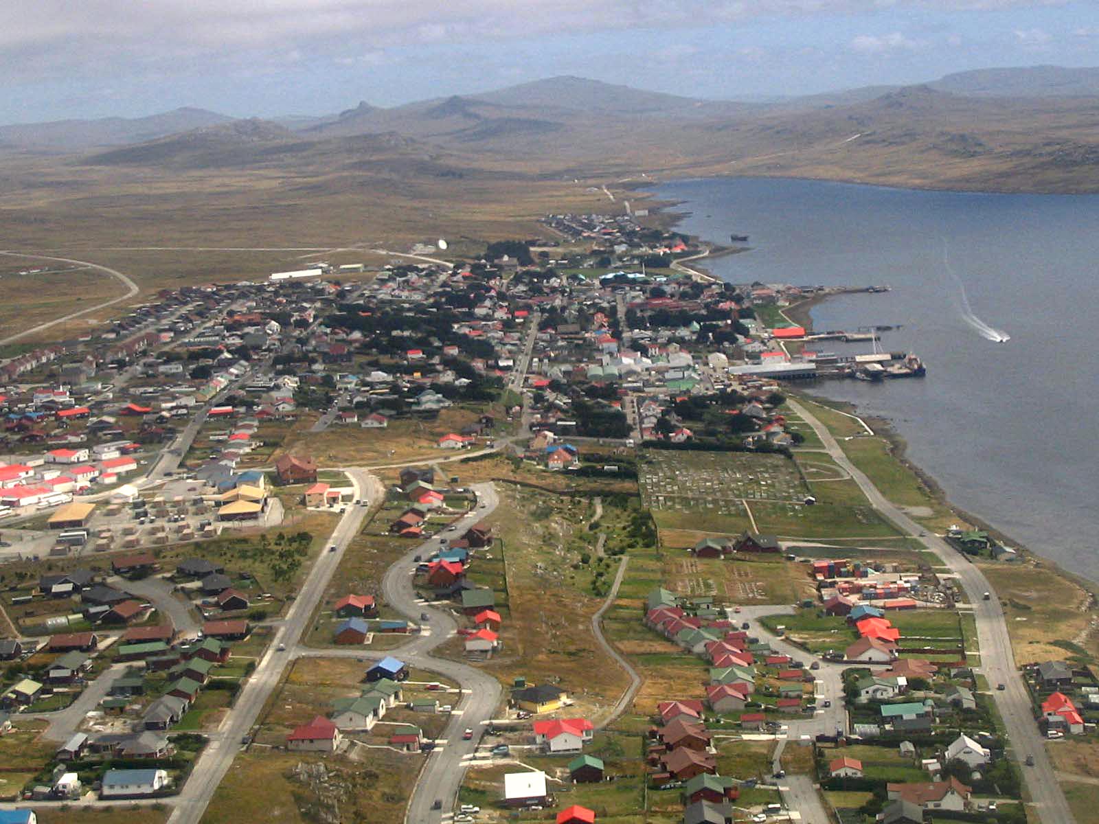
Port Stanley, from the air, 2005/02, by Tom L-C.
| date/time | username | edit summary |
|---|---|---|
| 22:16, 15 February 2005 | Tom L-C | (GFDL) |
| 22:13, 15 February 2005 | Tom L-C | (Port Stanley, from the air) |
Licensing

|
Permission is granted to copy, distribute and/or modify this document under the terms of the GNU Free Documentation License, Version 1.2 or any later version published by the Free Software Foundation; with no Invariant Sections, no Front-Cover Texts, and no Back-Cover Texts. A copy of the license is included in the section entitled GNU Free Documentation License. |
| This file is licensed under the Creative Commons Attribution-Share Alike 3.0 Unported license. | ||
| ||
| This licensing tag was added to this file as part of the GFDL licensing update. |
Historial de l'image
Puncha en la data/hora per a vore l'image tal i com es mostrava en eixe moment.
| Data/Hora | Miniatura | Dimensions | Usuari | Descripció | |
|---|---|---|---|---|---|
| actual | 20:26 2 set 2013 | Sense miniatura | 1600 × 1200 (220 kB) | wikimediacommons>Hohum | Levels |
Enllaços a l'image
Les següents pàgines enllacen ad esta image: