
Archiu:Andorra nasa world wind.png
Resolució completa. ((992 × 653 pixels, tamany de l'archiu: 1,34 MB, MIME tipo: image/png))
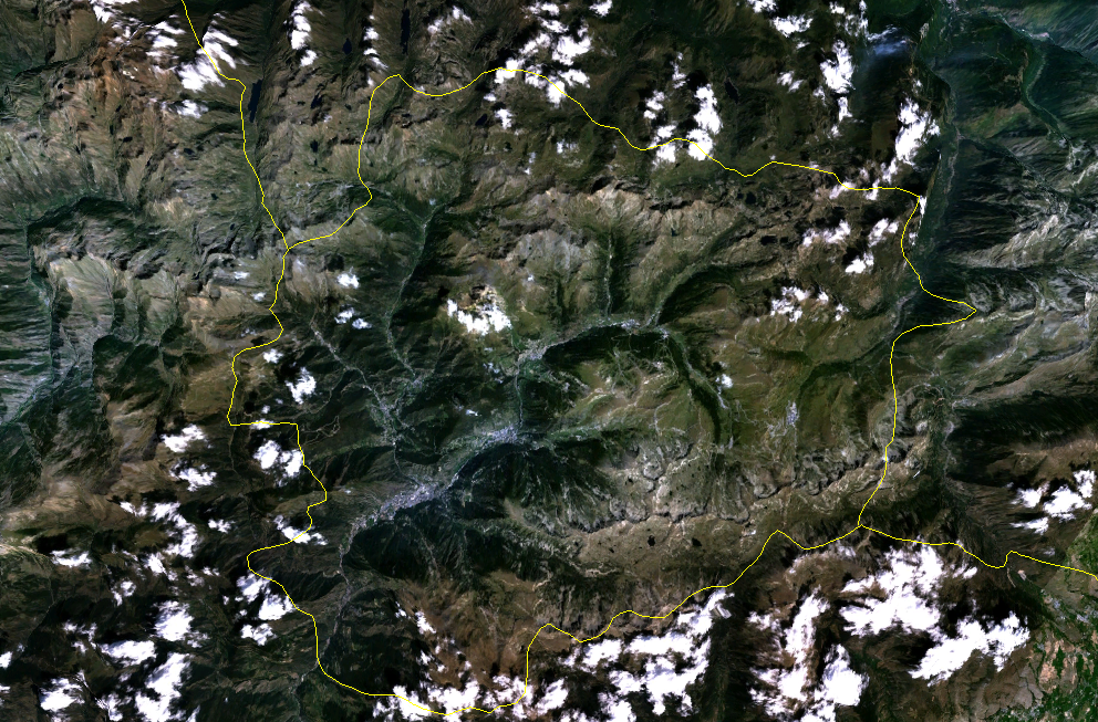
English: Satellite image of Andorra
Date: unknown date before 21 March 2006
| This image is in the public domain because it is a screenshot from NASA’s globe software World Wind using a public domain layer, such as Blue Marble, MODIS, Landsat, SRTM, USGS or GLOBE.
|
 |
Historial de l'image
Puncha en la data/hora per a vore l'image tal i com es mostrava en eixe moment.
| Data/Hora | Miniatura | Dimensions | Usuari | Descripció | |
|---|---|---|---|---|---|
| actual | 03:04 21 març 2006 | Sense miniatura | 992 × 653 (1,34 MB) | wikimediacommons>Roke~commonswiki | Andorra {{PD-WorldWind}} Category: Andorra |
Enllaços a l'image
Les següents pàgines enllacen ad esta image: