
Archiu:Bay of Biscay map.png
Resolució completa. ((1000 × 913 pixels, tamany de l'archiu: 334 kB, MIME tipo: image/png))
Summary
| Description |
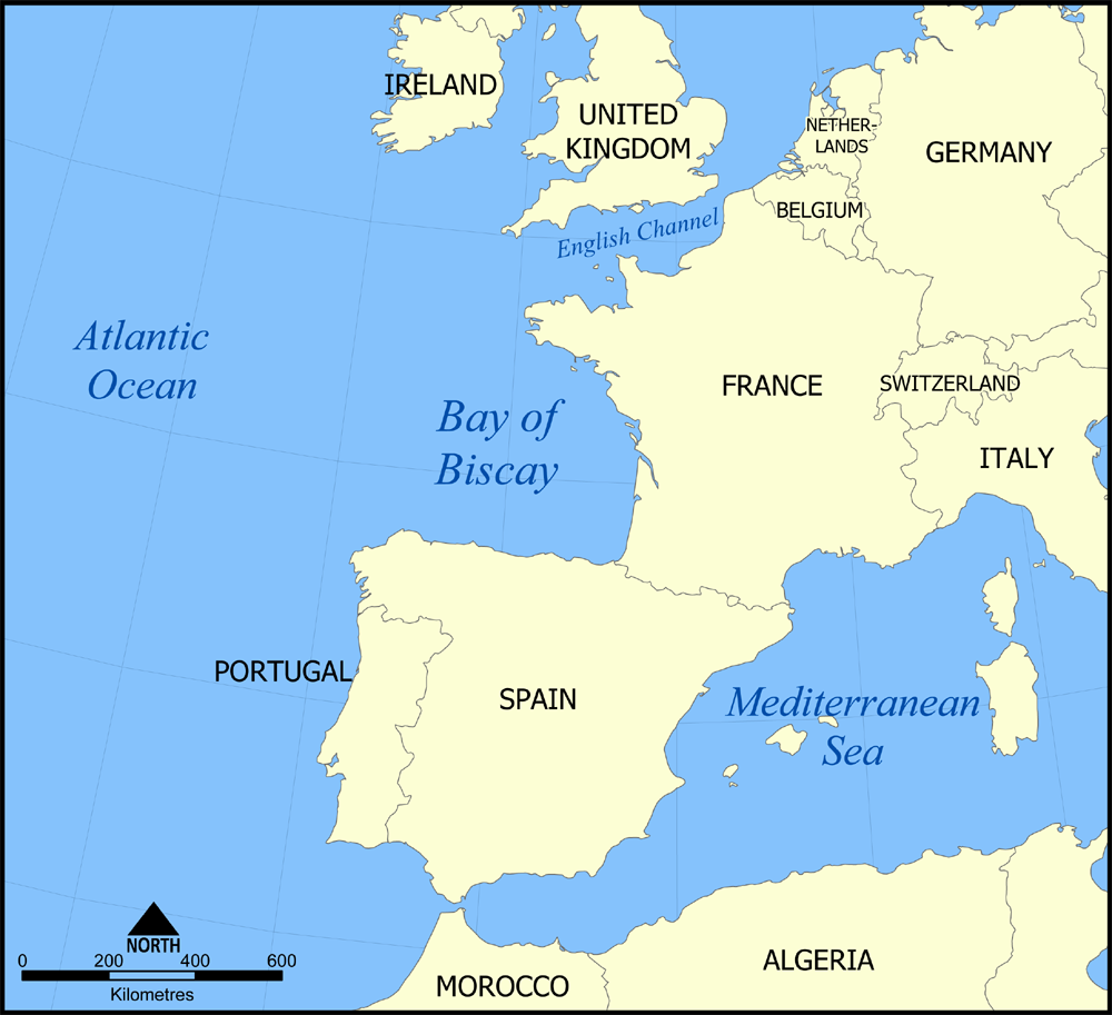
English: A map showing the location of the Bay of Biscay — in the North Atlantic Ocean bordering on France and Spain.
|
| Date | 7 November 2005 (original upload date) |
| Source | No machine-readable source provided. Own work assumed (based on copyright claims). |
| Author | No machine-readable author provided. NormanEinstein assumed (based on copyright claims). |
Licensing
I, the copyright holder of this work, hereby publish it under the following licenses:

|
Permission is granted to copy, distribute and/or modify this document under the terms of the GNU Free Documentation License, Version 1.2 or any later version published by the Free Software Foundation; with no Invariant Sections, no Front-Cover Texts, and no Back-Cover Texts. A copy of the license is included in the section entitled GNU Free Documentation License. |
| This file is licensed under the Creative Commons Attribution-Share Alike 3.0 Unported license. | ||
| ||
| This licensing tag was added to this file as part of the GFDL licensing update. |
You may select the license of your choice.

|
File:Bay of Biscay map.svg is a vector version of this file. It should be used in place of this PNG file when not inferior.
File:Bay of Biscay map.png → File:Bay of Biscay map.svg
For more information, see Help:SVG. |
 |
Historial de l'image
Puncha en la data/hora per a vore l'image tal i com es mostrava en eixe moment.
| Data/Hora | Miniatura | Dimensions | Usuari | Descripció | |
|---|---|---|---|---|---|
| actual | 16:44 7 nov 2005 | Sense miniatura | 1000 × 913 (334 kB) | wikimediacommons>NormanEinstein | This is a map showing the location of the Bay of Biscay in the North Atlantic Ocean bordered on France and Spain. Created by NormanEinstein, November 7, 2005 {{GFDL-self}} Category:Maps of seas |
Enllaços a l'image
Les següents pàgines enllacen ad esta image: