
Archiu:Táliga - 4.jpg
Tamany d'esta vista prèvia: 800 × 600 píxels. Atres/s resolucions: 320 × 240 píxels | 640 × 480 píxels | 1024 × 768 píxels | 1280 × 960 píxels | 2048 × 1536 píxels.
Resolució completa. ((2048 × 1536 pixels, tamany de l'archiu: 871 kB, MIME tipo: image/jpeg))
Summary
| Description |
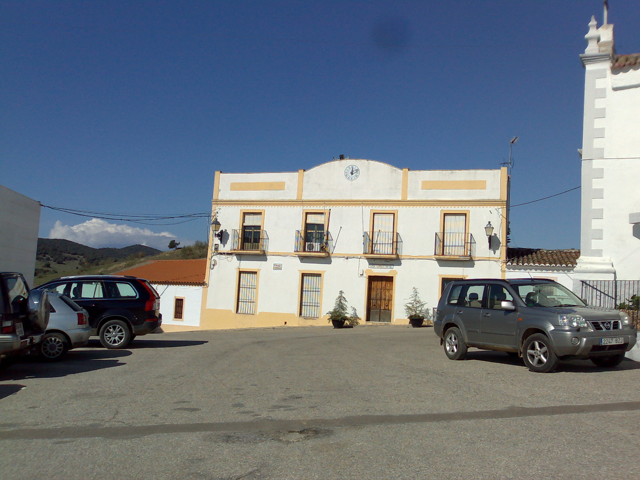
English: Táliga
Português: Táliga |
| Source | Own work |
| Author | Tagido |
| OpenStreetMap | Way 624804646 |
| Object location | | View this and other nearby images on: OpenStreetMap |
|---|
Licensing
| I, the copyright holder of this work, release this work into the public domain. This applies worldwide. In some countries this may not be legally possible; if so: I grant anyone the right to use this work for any purpose, without any conditions, unless such conditions are required by law. |
Historial de l'image
Puncha en la data/hora per a vore l'image tal i com es mostrava en eixe moment.
| Data/Hora | Miniatura | Dimensions | Usuari | Descripció | |
|---|---|---|---|---|---|
| actual | 12:17 10 nov 2008 | | 2048 × 1536 (871 kB) | wikimediacommons>Tagido | {{Information |Description={{en|1=Táliga}} {{pt|1=Táliga}} |Source=Trabalho próprio |Author=Tagido |Date= |Permission= |other_versions= }} <!--{{ImageUpload|full}}--> Category:Olivenza |
Enllaços a l'image
Les següents pàgines enllacen ad esta image: