


Archiu:Ancestral Puebloan sites.png
Resolució completa. ((1000 × 1000 pixels, tamany de l'archiu: 98 kB, MIME tipo: image/png))

Summary
| Description |
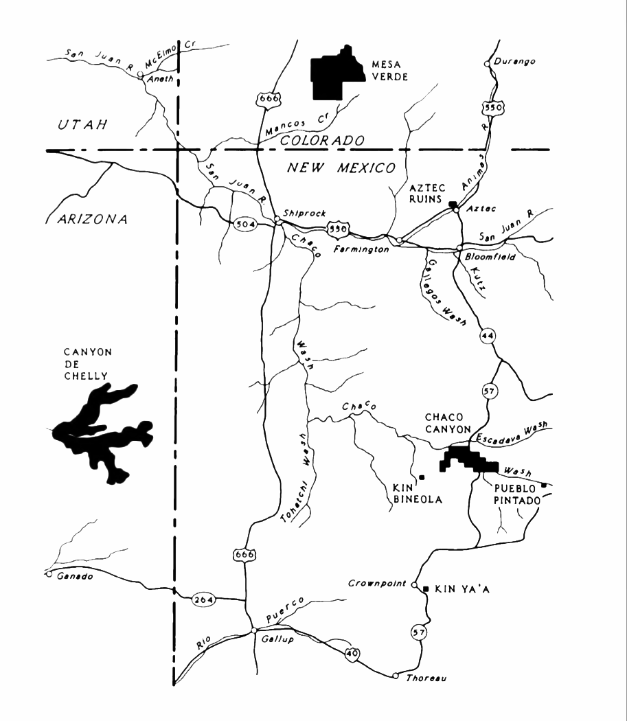
English: An NPS map of Ancestral Puebloan sites in the Four Corners area. |
| Date | |
| Source | Lyons, Thomas R., Remote Sensing Experiments in Cultural Resource Studies: Non-destructive Methods of Archeological Exploration, Survey, and Analysis, Reports of the Chaco Center, No. 1, United States Department of the Interior, National Park Service, page 104. |
| Author | National Park Service |
Licensing

|
This image or media file contains material based on a work of a National Park Service employee, created as part of that person's official duties. As a work of the U.S. federal government, such work is in the public domain in the United States. See the NPS website and NPS copyright policy for more information. |  |
Historial de l'image
Puncha en la data/hora per a vore l'image tal i com es mostrava en eixe moment.
| Data/Hora | Miniatura | Dimensions | Usuari | Descripció | |
|---|---|---|---|---|---|
| actual | 07:40 28 ago 2026 | Sense miniatura | 1000 × 1000 (98 kB) | wikimediacommons>Wikimedia Commons |
Enllaços a l'image
Les següents pàgines enllacen ad esta image:
